UC San Diego Granted Access to DigitalGlobe Commercial Satellite Imagery
DigitalGlobe Foundation Pilot Project to Advance Education and Research

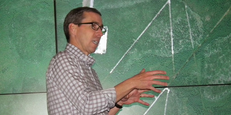
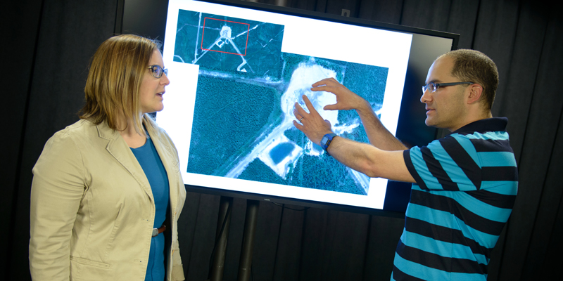
[Photos by Ran Goldblatt, except where indicated]
San Diego, March 18, 2015 — The DigitalGlobe Foundation has selected the University of California, San Diego to be one of two institutions of higher learning given open access to DigitalGlobe Basemap, an online map and database of current, high-resolution satellite imagery – of the entire planet. For a one-year pilot study, commercial satellite imagery will be made available free of charge to selected UC San Diego faculty, students and staff who, until now, would not have been able to afford access to the planetary-scale data included in the DigitalGlobe Basemap.
“We were amazed at the amount of research going on at UC San Diego leveraging commercial satellite imagery, geospatial big data and predictive analytics,” said DigitalGlobe Foundation executive director Mark E. Brender. “The university’s Dr. Albert Lin is an early adopter of commercial satellite imagery and has hands-on experience with the use of imagery in exploration, so it was only natural that the DigitalGlobe Foundation would select his institution for the pilot program. Now the UC San Diego team will have the world at their fingertips.”

Satellite imagery has become an invaluable tool for applications such as mapping, environmental research, agriculture, national defense, energy exploration, disaster response, and human rights monitoring and enforcement. But unlike other tools, the DigitalGlobe Basemap allows researchers to process and compute on the Basemap data.

DigitalGlobe Basemap features millions of square kilometers of current and archived imagery captured by DigitalGlobe’s industry-leading constellation of earth-imaging satellites over the past 15 years, including imagery from WorldView-3, DigitalGlobe’s newest satellite that collects imagery with 30-cm ground resolution.
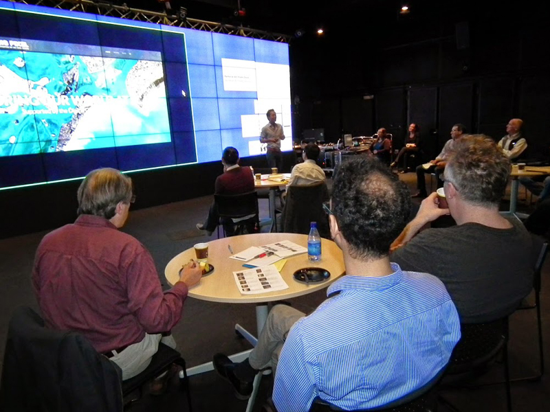
UC San Diego’s Qualcomm Institute and the School of International Relations and Pacific Studies (IR/PS) have developed the Big Pixel Initiative to ensure that the campus makes maximum use of access to DigitalGlobe Basemap. The initiative was founded by IR/PS professor Gordon Hanson and the Qualcomm Institute’s Albert Lin and Jessica Block to take advantage of the opportunity presented by the DigitalGlobe Foundation.
With a hackathon and other activities in the works, this month the initiative will also begin awarding grants worth between $5,000 and $15,000 to faculty or students proposing the best proof-of-concept projects to demonstrate a novel use of the Basemap.
“Having access to the DigitalGlobe Basemap will allow researchers to ask questions and derive answers at a scale that is truly global,” said IR/PS and economics professor Gordon Hanson, who leads UC San Diego’s Center on Emerging and Pacific Economies, which is funding the mini-grant competition. “By combining geospatial data with state-of-the-art research in fields such as public health, economics and ecology, we should be able to glean insights that were not previously possible.”

[Photo by Alex Matthews/Qualcomm Institute]
Starting this month, proposals will be reviewed for funding on a continual basis during the 12-month course of the pilot program.
“We hope to demonstrate to DigitalGlobe Foundation the value of this campus as a partner in identifying and conducting research that utilizes imagery at scale to address questions of global importance,” added Lin, who jointly manages the Big Pixel Initiative with IR/PS’s Hanson. “This is an extremely powerful tool. For example, we can look at 100 cities of the same size and population density to figure out the factors that lead to a healthier urban engine. This would not have been within our reach without access to a comprehensive resource such as DigitalGlobe Basemap.”
DigitalGlobe Basemap is being provided by the DigitalGlobe Foundation, an academic-focused philanthropic organization supported by Colorado-based DigitalGlobe, Inc. (NYSE: DGI). The DigitalGlobe Foundation, through imagery donations from DigitalGlobe, awards grants of earth observation data and products at no cost to students and academic faculty to support qualified research and education projects.

The Big Pixel Initiative will also break new ground in geospatial data visualization, user experience interfaces, and design techniques for scientific discovery and decision-making. “The goal is to ensure that we innovate new ways of using satellite data – for example, by designing new methods for scalable satellite image ingestion, processing, and visualization,” said the Qualcomm Institute’s Lin. “New tools will improve computer vision, machine learning, geographic information systems, remote sensing, and crowd-sourcing.”
A team of geospatial scientists from the Big Pixel Initiative will also provide advisory support to faculty and students who see the value of using satellite imagery in their research, but may not yet be trained to take maximum advantage of the data coming from the DigitalGlobe Basemap. In addition to founders Albert Lin, Gordon Hanson and Jessica Block, the team includes staff researchers Deborah Forster, Marta Jankowska, and postdoctoral scholar Ran Goldblatt. The Big Pixel Initiative will also collaborate with experts in data visualization and data art, including Qualcomm Institute research scientist Lev Manovich, who also teaches at the City University of New York.
Editor’s Note: Qualcomm Institute research scientist Lin was the founding CEO of Tomnod, Inc., a startup in geospatial crowdsourcing acquired by DigitalGlobe in 2013.
About the DigitalGlobe Foundation
The DigitalGlobe Foundation is a 501(c)(3) non-profit organization established in 2007 with the belief that we have an opportunity to share DigitalGlobe’s unique technology and resources to help train others to map, monitor, and measure the Earth. We focus on fostering the growth of the next generation of geospatial leaders by providing satellite imagery to students and faculty to advance research in geographic information systems and technology as well as environmental studies.
DigitalGlobe is a registered trademark of DigitalGlobe.
Related Links
Big Pixel Initiative
DigitalGlobe Foundation
Media Contacts
Doug Ramsey, (858) 822-5825, dramsey@ucsd.edu
