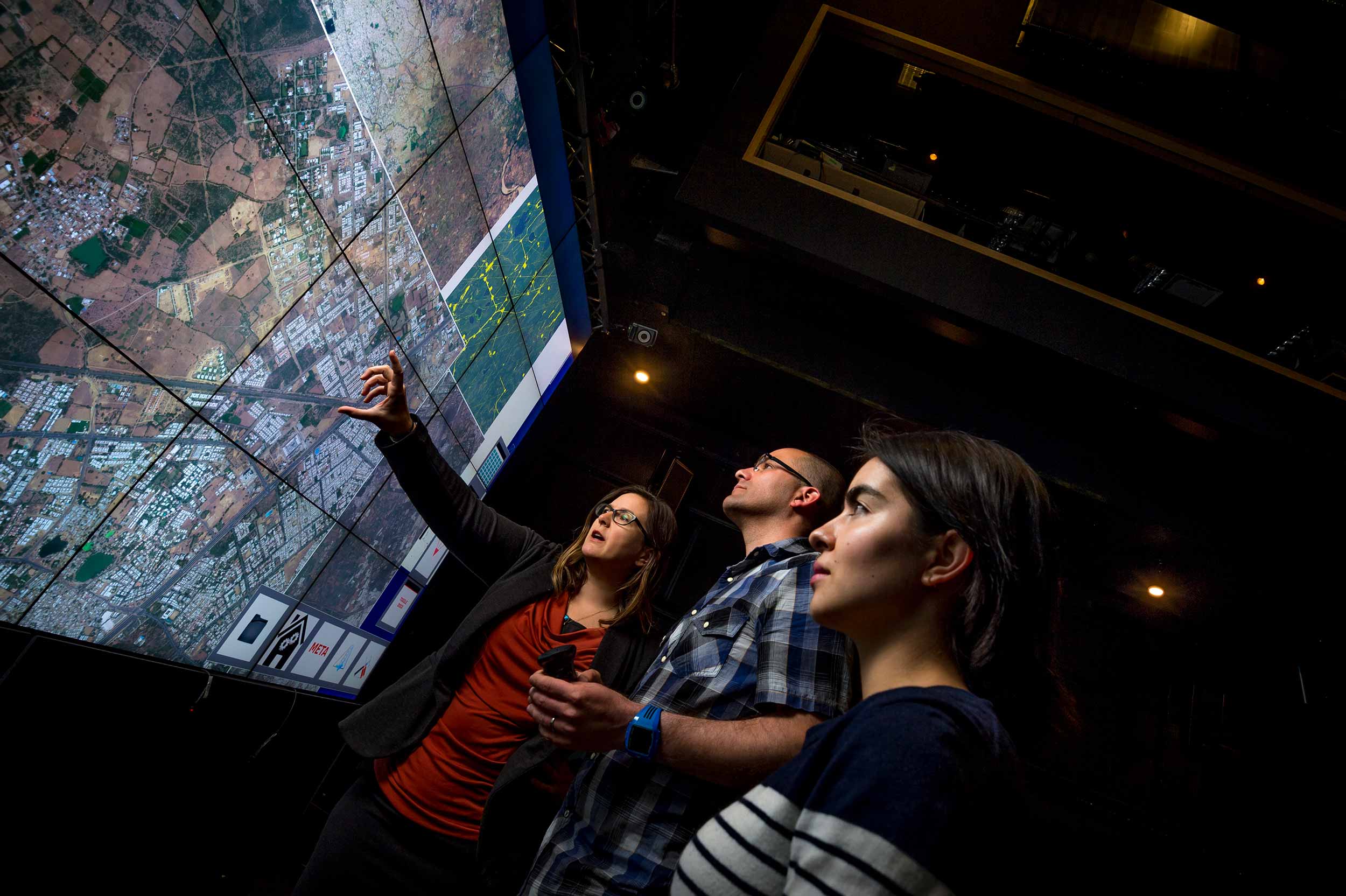
Big Pixel Initiative Invites Public to Help Map our World
By Anthony King
San Diego, Calif., April 10, 2017 — Urbanization and city expansion are transforming the world, and while the process itself can be positive — growing economies, enhancing opportunities for education and centralizing basic services — it also creates incredible challenges. Ecosystems are damaged, greenhouse gasses are concentrated and public infrastructure can cripple under increased demands.

Big Pixel Initiative researchers at the University of California San Diego are partnering with Columbia University and Arizona State University to create a continuous, global map of the urbanization process in order to address these challenges, and they’re looking to the public to help make it happen.
Using a unique, crowd-sourced method of identifying urban areas, they are creating a first-of-its-kind dataset — a global map of urban activity — at one of the finest levels of detail ever achieved. Founded by Gordon Hanson at the School of Global Policy and Strategy and Albert Yu-Min Lin at the UC San Diego Qualcomm Institute, the Big Pixel Initiative’s mission is to develop advanced geospatial capacity to address the world’s greatest challenges.
Launching as a pilot project April 4, the researchers ask individuals to help identify, or tag, land as either developed or not developed. Through the “Worldwide: Mapping Urbanization” crowdsourcing campaign, they anticipate having almost a half-million satellite images tagged by everyday enthusiasts, helping to revolutionize the way data is collected and the way we understand the human footprint.
“The intention is to leverage the crowd to generate a large-scale, comprehensive dataset that we will use to validate and improve our algorithm” said Ran Goldblatt of the Big Pixel Initiative. “The crowd’s assistance with this data collection will greatly help us to ultimately construct a global layer of all urban areas.”
For the public, he said, tagging images is easy to do, and participating in the project also allows people the opportunity to discover untouched landscapes and identify remote areas.
As urban areas expand, the natural world and landscapes also change. Open spaces, forests and rivers are replaced by buildings and roads. The transition from a field of dense forest to a complex freeway interchange does not happen overnight, and satellite imagery gives researchers the opportunity to view these changes at high resolution in real time.
“People can go to the website, view and image and tag it as ‘built up’ or ‘not built up.’ These tags will then be recorded and added to the overall data, inserted into our machine algorithms,” Goldblatt said. “The public has an opportunity to be part of a big, innovative research project, essentially helping us map our world.”
The Big Pixel Initiative team is developing machine-learning methods that are designed to map cities around the world. These methods require what is called “ground-truth” data, or real examples of individual plots of land and how they are used. For example, if at least half of the land in an image, or pixel, is paved or covered by human-made surfaces, it is tagged as “built up.”
The key is the crowd, where human inspection — pixel by pixel — will feed into the algorithms being developed to create a global map of urbanization. The team hopes that the maps will be updated annually, and available free of charge to the public through Google Earth Engine.
In a previous study detailed in the August 2016 paper “Detecting the Boundaries of Urban Areas in India: A Dataset for Pixel-Based Image Classification from Google Earth Engine,” the research team established the foundation for the creation of a high-resolution map of all inhabited locations. The study provided, for the first time, a reliable and comprehensive open-source data for detecting and mapping urban areas through satellite images in India.
Authors of the paper are Big Pixel Initiative researchers Ran Goldblatt and Gordon Hanson (both of the School of Global Policy and Strategy), UC San Diego Department of Economics doctoral student Wei You and Amit K. Khandelwal of Columbia Business School at Columbia University. Khandelwal is director of the Chazen Institute for Global Business.
The “Worldwide: Mapping Urbanization” campaign is a joint project with Hanson and Goldblatt of the Big Pixel Initiative, Khandelwal of Columbia University and Matei Georgescu of Arizona State University.
Closely tied to the Center on Global Transformation, the Big Pixel Initiative was launched in 2015 by unique, two-year access to satellite imagery and data, and then expanded to include analysis on the Google Earth Engine platform.
Media Contacts
Tiffany Fox
(858) 246-0353
tfox@ucsd.edu
Related Links

