Another Step Forward in Navigation for the Blind
|
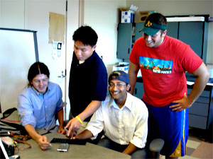
9.13.04 -- Paul Blair and students are turning an initial proof of concept for a navigational system for the blind into a system nearly ready for testing in the field. Working with enthusiastic undergraduates Adam O'Neill, Ravi Singh, and Kingsley Ma, Blair is continuing to develop a real-time, voice-based guidance system relying on cell phones and a back-end compute server that compiles and integrates user GPS location information and user-supplied annotations about points of interest using the test environment of the UCSD campus.
Blair proved the viability of this system before but knew he needed to simplify the user interface. "It now has a nicer form factor, running on affordable Bluetooth-enabled phones such as the Nokia 6600," he says.
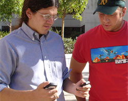
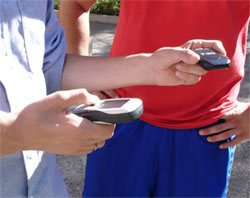
How would this system be used? A user turns on a GPS device and drops it in his pocket. This device tracks the user's location and reports it to a navigation application that runs on the phone. The application reads in the GPS receiver data over the Bluetooth wireless link, extracts the latitude and longitude coordinate data of the user's location, makes a cellular data connection to the compute server, and pushes the coordinate data to the server.
The server, in turn, draws from a database of locations and environmental features and, depending on the module the user selects and command s/he gives, provides voice-based guidance (using an interactive Voice Response system) specifying the direction in which to head and the distance in meters to the destination. Directions can be given once or updated on demand to reflect the user's progress between waypoints along the path to the destination.
|
||||
The user can also get general information about the area by asking "around me?" In response, the server will describe everything in the database within a pre-defined radius. This feature should be especially useful when someone is just beginning to familiarize himself or herself with an area and wants to know proximities between sites or hazards to avoid.
O'Neill is developing a capability for users to add, publish, and share their own waypoints dynamically. "This feature will allow users to customize the paths they take and, at the same time, contribute information to the community using the system," says O'Neill. "We're trying to avoid the need for each user to reinvent the wheel."
O'Neill's enhancement will enable users to enter two types of descriptions - landmarks, such as buildings and street intersections, and waypoints, which have more personal meaning, such as a coffee cart with particular smell or a generator making a particular noise. "We're also trying to provide a set of pre-defined primitives to make the system easier to use," says O'Neill.
|
A user can tag a new location with a name, identifying it to the server over the phone using the widely known military phonetic alphabet for spelling things out over voice links (e.g., Alpha for A, Bravo for B, Charlie for C, and so on). For example, to tag a location "clock," the user says into the phone "Charlie, Lima, Oscar, Charlie, Kilo). The server confirms the tag name, then enters the tag and GPS location of the user at that moment into the database.
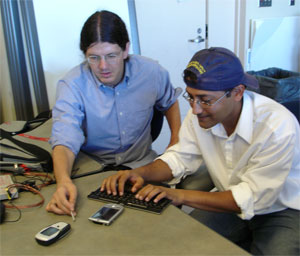
Kingsley Ma has worked on interfacing the phone to the GPS system. Says Ma, "I modified an existing program to enable the phone to parse the GPS coordinates and send the relevant http packets, like the header, the name of the user account, and so forth, to the server every 20 seconds."
This team, long on imagination, has already thought ahead to ways this system might prove useful to more diverse populations. "Suppose you're in a large city and are lost," says Blair. "And suppose it's night time and you're feeling vulnerable. You don't want to signal that you're lost by doing something as obvious as pulling out a city map or viewing a map on a PDA. Rather, given how common it is for people to talk on their cell phones on the street, you could use your phone as a convenient yet discreet way of figuring out how to get to your destination. We have voice-guided directional assistance in cars. You can think of this system as a finer-grain analog for pedestrians."
This project, as is typical at Calit², is drawing on research results from related projects. One focused on optimizing the amount of time battery power is available, led by Ramesh Rao, will help Blair and his students push battery power (before the battery needs to be recharged) from six to a more practical 12 hours, the duration of a full-length working day.
Planned improvements in the system include secure user authentication, increased accuracy in the server's recognition of the military phonetic codes to tag locations, and path manipulation (a path is defined as a list of locations visited in order by a user). For example, the team wants to make it possible for paths to be combined or spliced together to create new routes around campus. As the usage of the system increases, the system will be able to determine the relative popularity of various paths between two set locations, which will allow the system to optimize its recommendations over time. The paths may also be optimized for distance or time, and offered to users as alternatives.
The research team is evaluating whether to add a camera feature. What if the GPS reception is not good, making it hard to determine where you actually are? With such a feature in place, the blind person could take a series of photos with his phone, then send them over the cell link to a sighted person who could advise over the phone what to do. In this way, sighted locals could serve as remote "interpreters."
"Engineers always run the danger of overengineering their systems," says Blair emphatically. "That's why we're interested in working with local disability organizations to test the technology with real users to see what does and doesn't work, and what useful features we might add. We're also interested of course in involvement by some of Calit²'s key wireless partners, such as Ericsson, HP, and Nokia."


